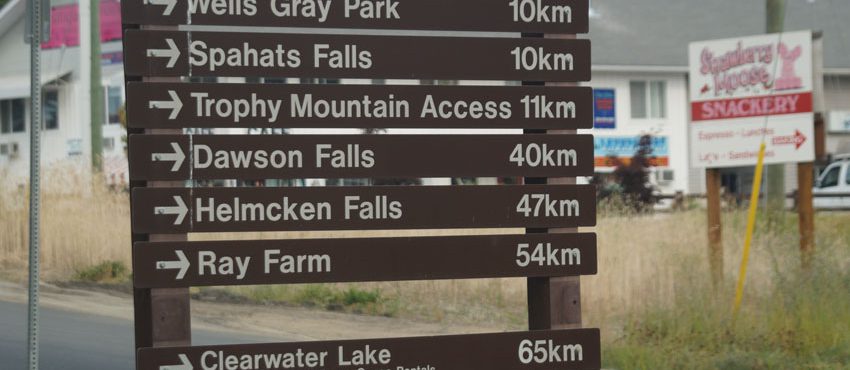
Local Planning Commitments and Logging near Wells Gray Park
In 1999, residents of the Upper Clearwater Valley and the local forest district agreed that the corridor of private and public land surrounding the road leading to Wells Gray Provincial Park had unique values. The values were documented in guidelines in a local resource use plan. The guidelines were endorsed by the district manager, who was pleased about the trust that had developed between business, government and individuals. Little harvesting occurred in the area until 13 years later, in 2012, when the licensee who operates in the area went to the referral group with harvest plans and explained how the plans followed the guidelines. The referral group disagreed. The licensee tried to get comments on the operational plans but the residents’ concerns were more strategic than operational and the residents viewed government as breaking its agreement with them. They complained to the Board that the guidelines were not being followed.


